Lot 102: Vintage Philips' Commonwealth Atlas with Australian State & Territory Maps
Estimate: $10 - $20 AUD. Starting bid: $1 AUD.



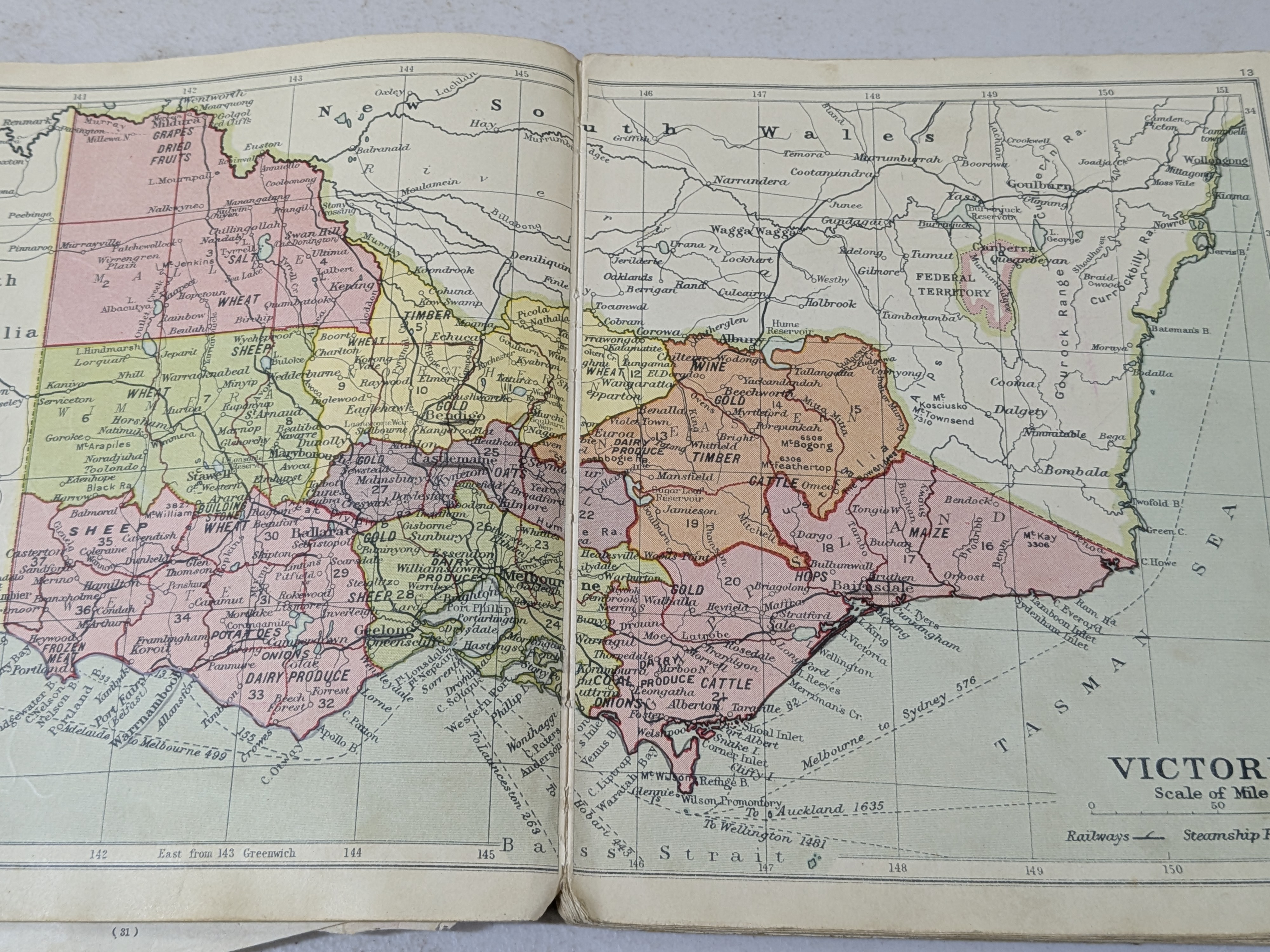
Description
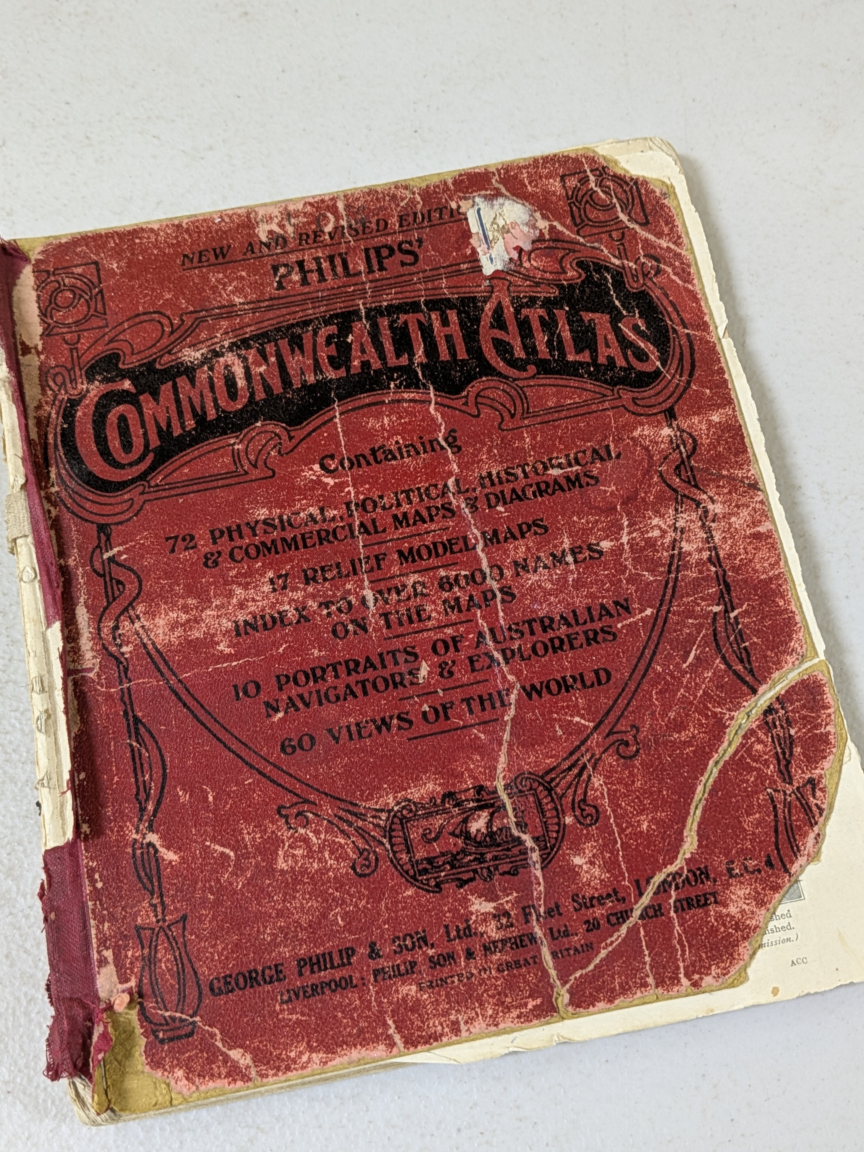
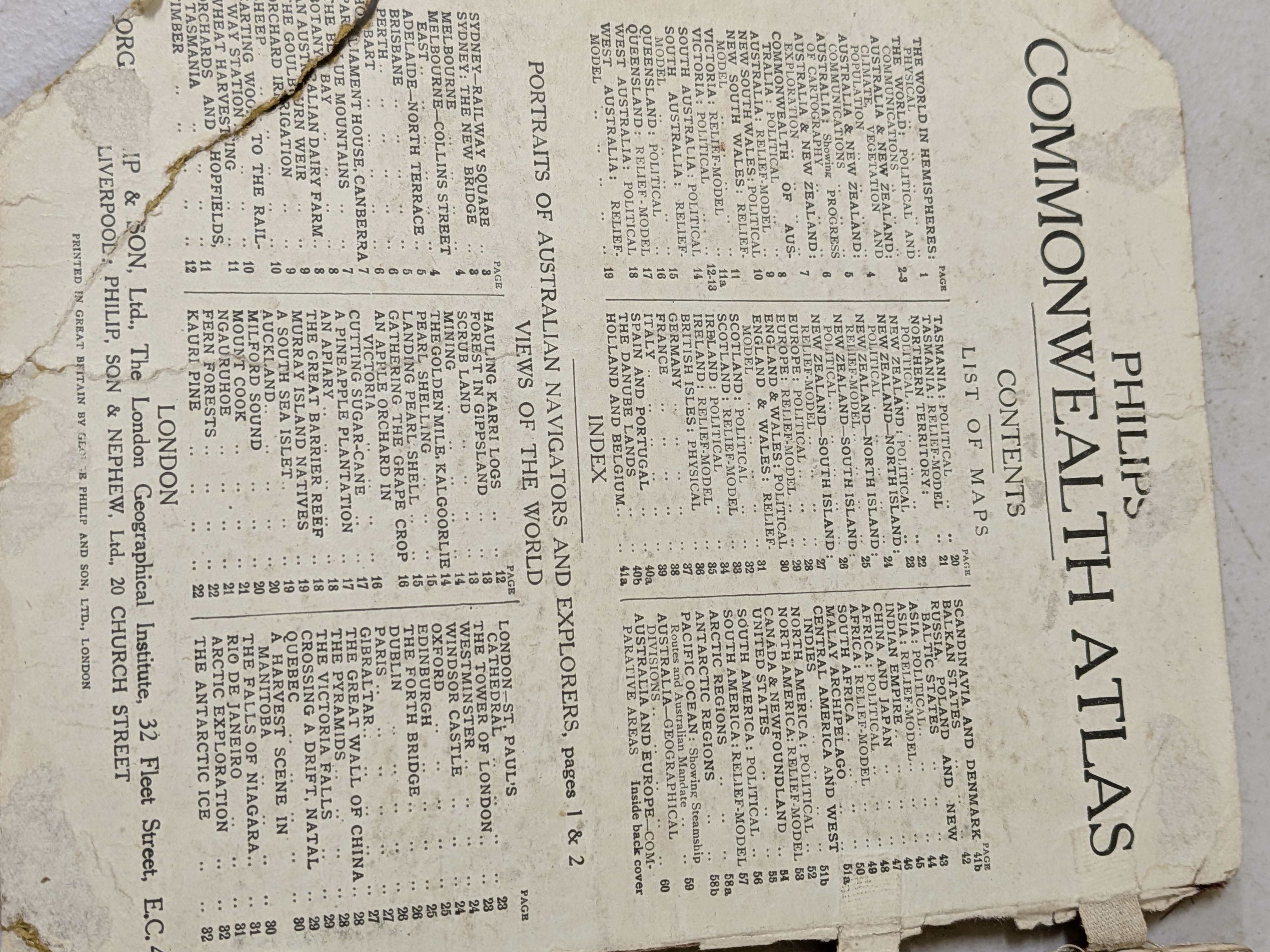
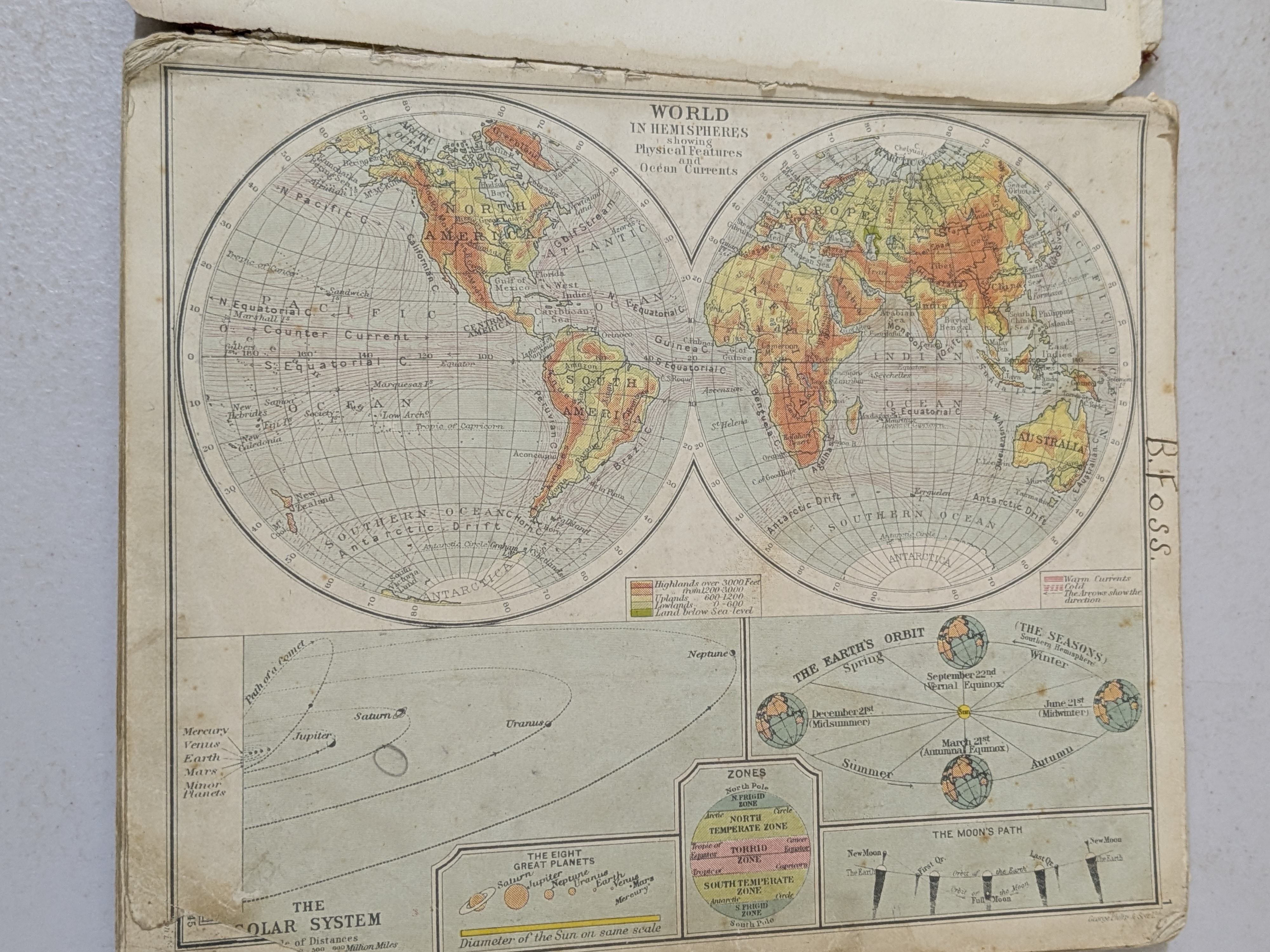
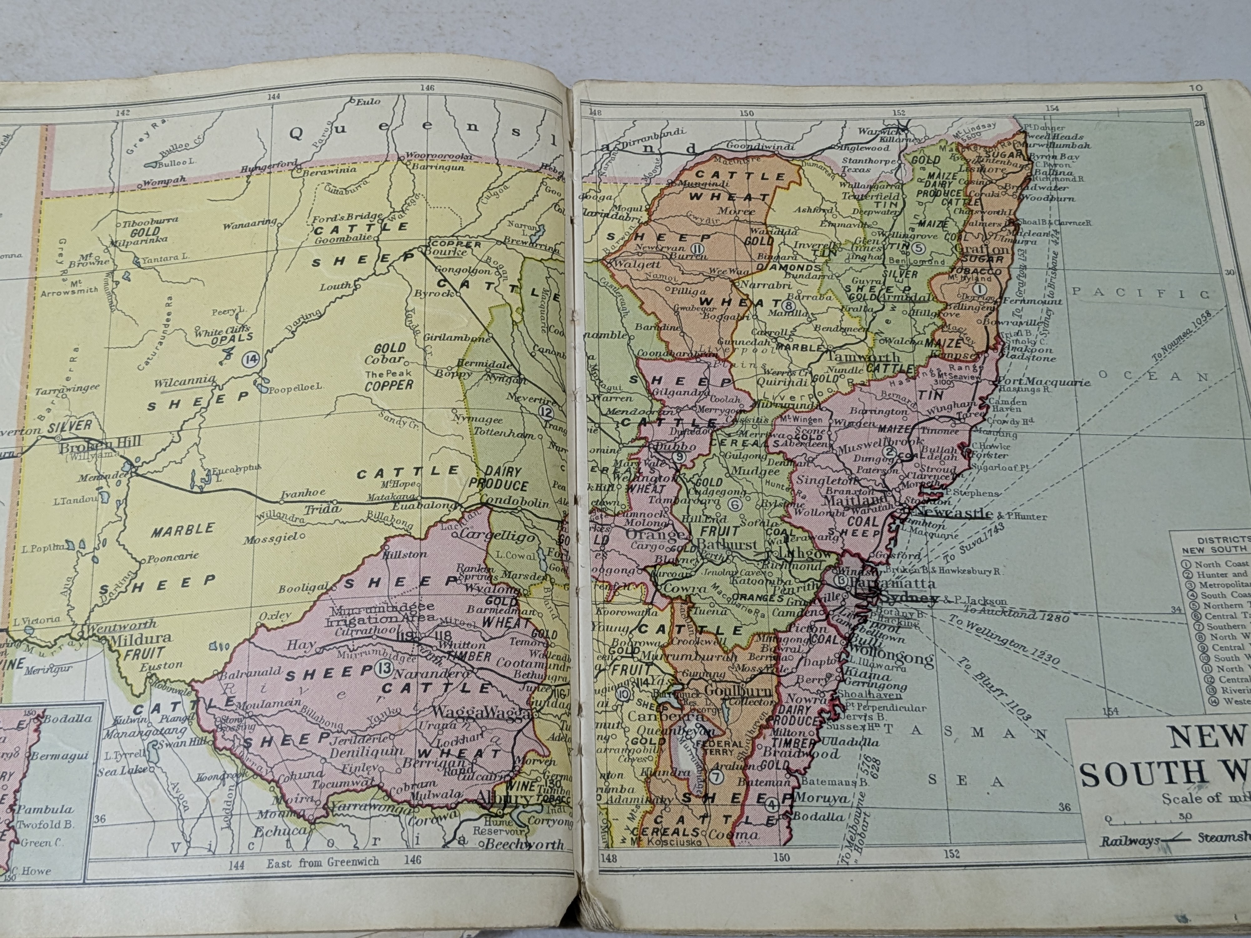
An early 20th-century 'Philips' Commonwealth Atlas', published by George Philip & Son, Ltd. This "New and Revised Edition" contains 72 physical, political, historical, and commercial maps, 17 relief model maps, an index to over 6000 names, 10 portraits of Australian navigators and explorers, and 60 views of the world, offering a comprehensive geographical and historical overview of the British Commonwealth, with a particular focus on Australia.
Condition Report
The book exhibits significant wear and tear consistent with its age and use. The covers are heavily frayed, torn, and chipped around all edges, with considerable surface loss and creasing to the red material. The spine is largely absent or completely detached. The page edges are discoloured and worn. Internal pages show discolouration, foxing, and some minor tears, though the maps themselves appear largely intact.
Specifications
| Category | Books |
|---|---|
| Lot Reference | LOT-102 |
| Estimate (AUD) | $10 - $20 |
| Buyer's Premium | 20% |
| Publisher | GEORGE PHILIP & SON, Ltd. |